Since we first launched point POIs, our customers have begged for more categories and geographies. Now, we offer hundreds of thousands of new point POIs to facilitate your investment research, site selection, trade area analysis, and more.
Getting data on non-traditional places (locations without defined polygon boundaries) used to be near impossible. To address this gap, in July 2021 we introduced point-only POIs. Point-only POIs are places without any associated geometry that still are relevant to organizations and their analytics, such as ATMs, kiosks, and transit stops. Our July release included 182,000 point POIs, and since then we’ve continued to build our database. Our September release of Core Places includes 746,953 POIs in the US, Canada, and Great Britain, providing users with a more complete view of the world around them and enhancing their critical analyses.
What Are Point POIs?
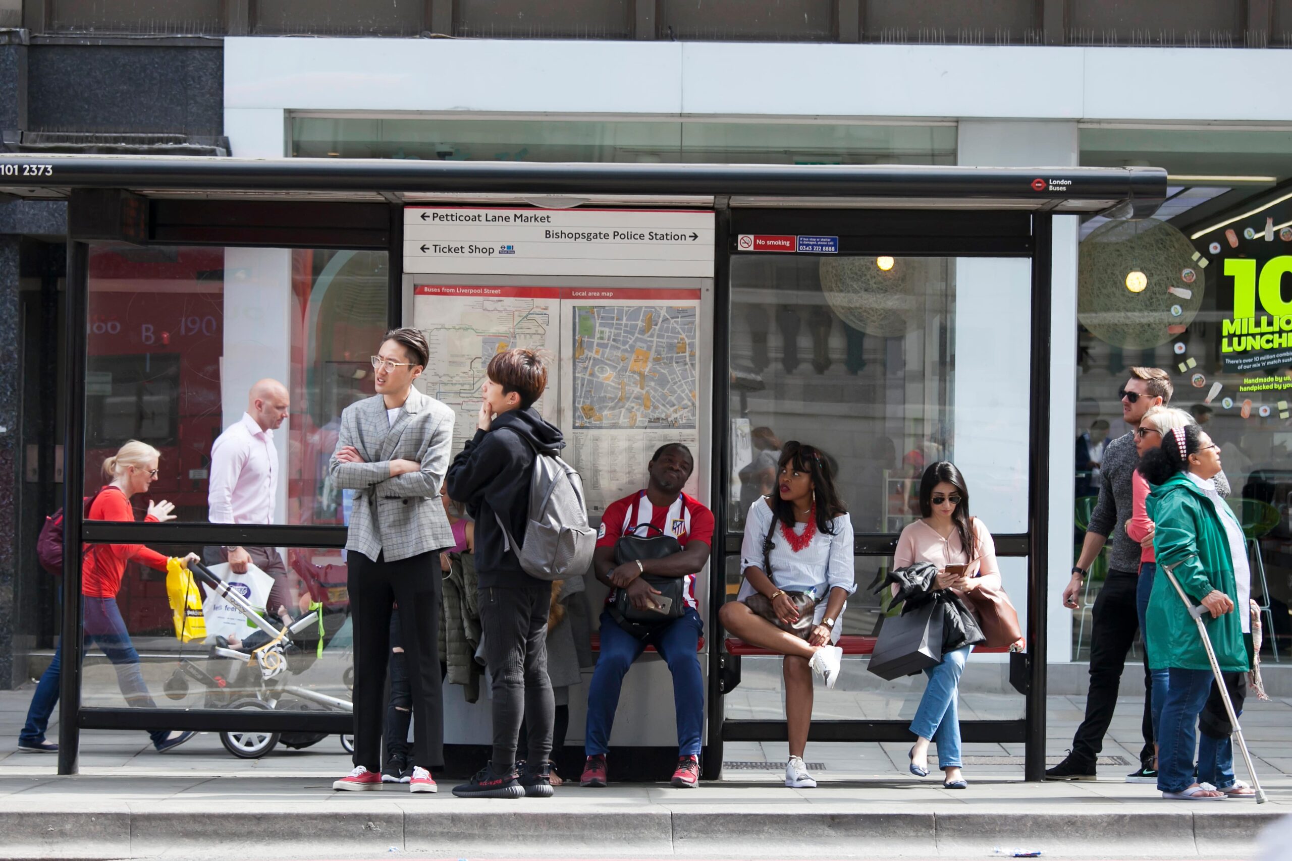
Non-traditional POI locations such as ATMs, electrical vehicle charging stations, kiosks, transit stops, and vending machines may lack structural boundaries, but are mapped using x and y coordinates in the point POI dataset. Learn more about them in our data schema.
How Can I Get Point POIs?
SafeGraph’s new point POIs are an extension of SafeGraph Places data, which provides baseline information for every record in the product suite, including location name, address, lat/long, category, brand, and more. This means that customers receive every column in SafeGraph’s base schema for point-only POI rows, which can easily be appended to Places in order to enhance use cases including investment research, site selection, trade area analysis, urban planning, and network planning. This is just a fraction of all the potential use cases for point POIs, as the opportunities to use point POIs for spatial analysis purposes are endless.
Interested in adding point POIs to your current POI dataset? Contact your SafeGraph Customer Success Manager, or reach out to get a quote.