GIS has become a foundational layer in how organizations understand and manage the physical world. By connecting data to location, GIS helps teams see patterns, relationships, and constraints that are not visible in traditional spreadsheets or reports.
Today GIS is used far beyond mapping. It supports decisions in business, government, healthcare, infrastructure, and environmental management. This article explores 10 of the most widely used GIS applications across industries, showing how location-based insights translate into real-world impact.
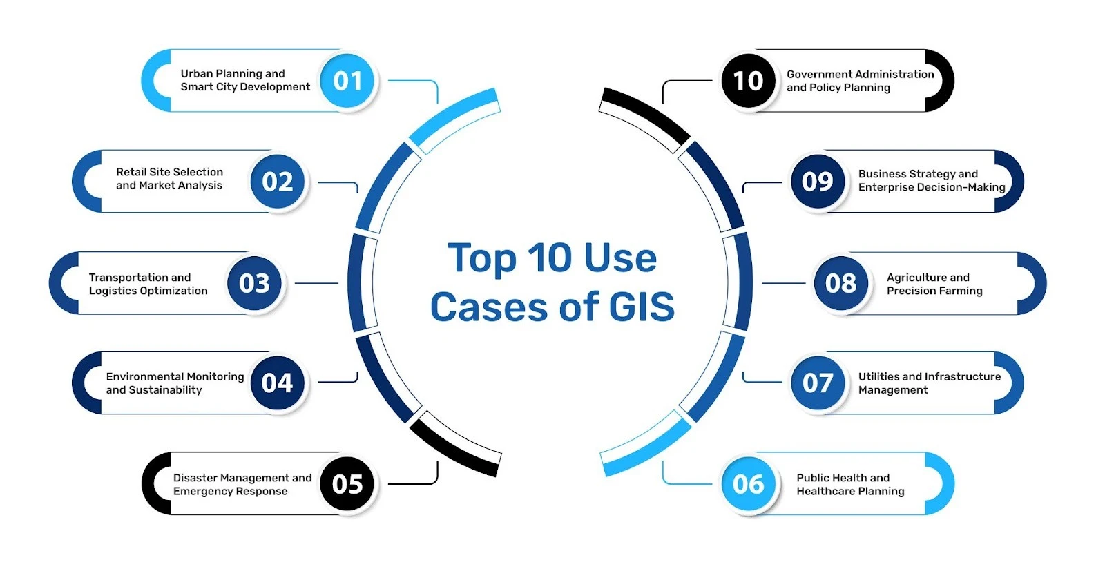
1. Urban Planning and Smart City Development
GIS plays a central role in urban planning by helping cities manage growth, land use, and infrastructure. Planners use GIS to analyze population density, zoning regulations, transportation networks, and public services in a single spatial view.
By visualizing how people move and how resources are distributed, cities can plan roads, housing, utilities, and green spaces more effectively. GIS also supports long-term sustainability by helping planners anticipate future needs rather than reacting to congestion or service gaps.
2. Retail Site Selection and Market Analysis
Location is one of the most important factors in retail performance. GIS allows businesses to evaluate potential store locations by combining demographic data, competitor presence, accessibility, and surrounding activity.
Rather than relying only on historical sales or intuition, retail teams use GIS to compare markets objectively, define trade areas, and understand how customers interact with physical spaces. This leads to better expansion decisions and reduced risks.
3. Transportation and Logistics Optimization
GIS is widely used to design and optimize transportation networks. Logistics teams use spatial data to plan routes, reduce delivery times and manage fleets more efficiently.
By analyzing distance, traffic patterns, and connectivity, organizations can identify bottlenecks and improve network reliability. GIS also supports public transportation planning by helping agencies align routes with population demand.
4. Environmental Monitoring and Sustainability
Environmental organizations and governments rely on GIS to monitor land use, climate patterns, and natural resources. GIS enables the tracking of deforestation, water availability, air quality, and ecosystem changes over time.
These insights support conservation planning, regulatory compliance, and climate resilience efforts. GIS helps the decision-makers understand not just what is changing but also where those changes are occurring and why they matter.
5. Disaster Management & Emergency Response
GIS plays a critical role in disaster preparedness and response delivery. Emergency teams use GIS to identify high-risk zones, plan evacuation routes, and allocate resources during floods, earthquakes, or health emergencies based on location.
During the time of active events, spatial data helps responders understand the impact areas on a real-time basis. GIS helps in assessing damage and planning better recovery strategies, improving readiness for future events.
6. Public Health and Healthcare Planning
In healthcare, GIS helps visualize how health outcomes vary across regions. Public health agencies use spatial analysis to track how diseases spread, identify underserved populations, and plan better healthcare facilities for the masses.
By linking health data with geographical context, GIS supports targeted interventions, equitable resources allocation, and more effective emergency responses during outbreaks, as visible during the times of COVID too.
7. Utilities and Infrastructure Management
Utilities use GIS to manage complex networks such as power lines, water systems, pipelines, and telecommunications infrastructure. GIS helps track assets, plan maintenance, and respond to outages more quickly.
Accurate spatial data allows utilities to understand dependencies across networks and minimize service disruptions, especially during extreme weather events.
8. Agriculture and Precision Farming
GIS supports modern agriculture by helping farmers and agribusinesses manage land, crops, and resources more efficiently. Spatial analysis is used to assess soil conditions, monitor crop health, and plan irrigation.
By understanding how environmental factors vary across fields, GIS enables more precise farming practices that improve yields while reducing waste and environmental impact.
9. Business Strategy and Enterprise Decision-Making
Beyond individual departments, GIS increasingly supports enterprise-level decision-making. Organizations use GIS to align operations, workforce deployment, and asset placement with geographic demand.
By integrating GIS with other business systems, companies gain a spatial view of performance, risk, and opportunity supporting more informed strategic planning.
10. Government Administration and Policy Planning
Governments use GIS to support census analysis, land records, public safety, and policy development. GIS enables agencies to visualize how policies affect different regions and populations.
This spatial perspective helps improve transparency, service delivery, and long-term planning at local, regional, and national levels.
Why GIS Use Cases Continue to Expand
The growing availability of geospatial data, combined with better analytical tools, has made GIS more accessible and more valuable than ever. As organizations face challenges where location plays an ever-greater role, GIS provides a practical way to analyze complex spatial relationships while preserving the nuance in the data.
Across industries, the most common thread today is to connect data with places. GIS enables that connection smoothly, thereby turning geographic context into actionable insights.
How GIS supports Decision-making
GIS is no longer a specialized technology used by a few technical teams now. Today, it has become a core capability for organizations that operate in the physical world.
From planning cities and managing infrastructure to improving healthcare access and guiding business strategy, GIS supports better decision-making by grounding analysis in location. As data continues to grow in volume and complexity, GIS will remain essential for understanding where things happen and why those places matter.